Vermessung AVT is a private surveying company with headquarters in the Austrian Alps, Imst. Its principal activities comprise all aspects of surveying: cadastral and technical surveys, engineering geodesy airborne photogrammetry, laser scanning, including data capture, and GIS data processing. On top of that, the company has an in-house built software Geosi that runs on BricsCAD as an extension. Their goal is to deliver high-quality products at a competitive price level to their domestic and international clients. AVT has over 80 BricsCAD Pro perpetual licenses.
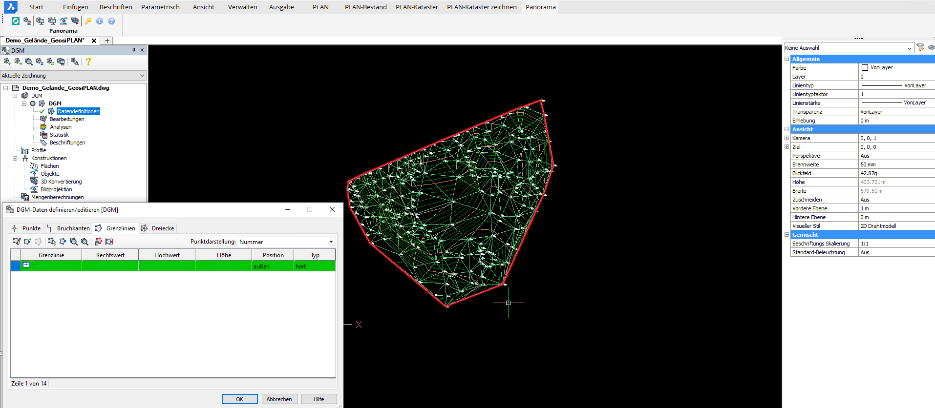
Mr. Klaus Legat, the Head of the Aerial Surveying Department, discussed the compatibility of BricsCAD with Geosi and clarified why they considered changing CAD software in the first place: “We wanted to overcome the dependency on Autodesk® products, especially regarding its licensing model (subscriptions instead of permanent licenses). AVT has a subsidiary IDC EDV GmbH that developed software suite Geosi for all sorts of surveying tasks, with clients in several central European countries. The module GeosiPlan is a tailored tool for generating survey plans. The dependency on AutoCAD® led to a stagnation of the Geosi sales.”
Developing a strong market position
AVT decided to switch over to BricsCAD and use it as the new environment for GeosiPlan. Apart from the versatile functionality, the BricsCAD price and licensing model were the main decisive factors. Klaus explained: “BricsCAD provides an excellent functionality at a very attractive price. With BricsCAD as the new environment of GeosiPlan, we can improve the functionality of our own software significantly and develop a much stronger market position. In the meantime, IDC EDV GmbH has become the main sales partner of Bricsys for Austria. We won a great number of clients for BricsCAD, where only a relatively small share is from surveying.”
Integration with BricsCAD
Klaus highlighted the main advantages of BricsCAD and why it fitted perfectly in their business environment: “We are highly satisfied with the functionality and versatility of BricsCAD. We generate all our survey plans with BricsCAD and add our Geosi extensions to them. Even for airborne photogrammetry, the IDC team has developed a “capture” extension that allows stereo-photogrammetric mapping and construction with BricsCAD (DAT/EM Summit Evolution). BricsCAD allowed us to improve productivity with our Geosi modules to an unprecedented level."
Imst, Austria
Surveying
Vermessung AVT
- www.avt.at


