For a long time GIS software only provided 2D visuals and geometry for landscape, while CAD software developed more and more 3D visualization, without giving much attention to how the geometry it created was located within the world. This longtime fundamental difference is about to shift! New technology gives us the possibility to fuse different types of data: 2D & 3D, GIS & CAD. The line between the two is fading.
GIS and CAD - what's the difference?
Originally, GIS and CAD tools were separate domains. Software packages used and developed in the GIS environment, are typically separate from traditional CAD software packages because they worked at different scales.
GIS is generally suited for analysis on larger scales, e.g. for infrastructure and city planning.
CAD on the other hand, is better suited to site-level scale e.g. facility design and construction.
How to make 3D GIS files work as IFC files for BIM:
Step 1 - Find the source data
There are many online resources where you can find 3D city models as open data. Different countries and many cities have special portals to download datasets.

Both GML and CityJSON are typical file formats used to store 3D buildings for city planning and are interchangeable. The aim of CityJSON is to offer easier visualization, editing and manipulation, so the files are very compact.
The following example uses data from the 3D BAG initiative. 3D BAG is an up-to-date registry of all buildings and addresses in the Netherlands. It was recently released as open data and carries multiple levels of detail (LODs).
3D BAG is kept up-to-date with the latest, openly available, building stock and building elevation information. The dataset can be downloaded in different formats, one of which is the .json format, the most suitable for IFC conversion and subsequent use in BricsCAD, or other software.
JSON stands for Java Script Object Notation -- an open standard data interchange format
Step 2 - location and position of the geometry
You can use BricsCAD's MAPCONNECT function to locate and position the geometry. MAPCONNECT let's you use WMS (Web Map Services) to connect to the 3D BAG servers and retrieve a 2D outline of buildings as tiled images. This is a fast way to use and explore spatial content in CAD.

Fragment of the buildings surrounding Schiphol Airport in the Netherlands using MAPConnect and combination open topographical vector data as underlay. Image : Lammerts Engineering
Step 3 - converting to IFC
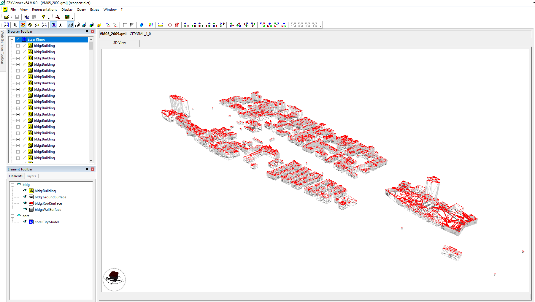
To use 3D city models in BricsCAD BIM the downloaded files first need to be converted to IFC. For this example, the FZKviewer, freeware software, developed by KIT (Karlsruhe Institute of Technology) was used. This viewer can visualize 3D data models from both BIM and GIS.
How to convert your data to IFC:
- Download the .json or. .gml file from the internet city portal
- If needed, convert (city).json files to (city).gml using Citygml-tools (some old school knowledge of MS DOS comes in handy)
- Open the gml file in FZKviewer. Open => GML => Save as => IFC.

Your data is now ready for import to BricsCAD BIM. Furthermore, you can enrich your model with aerial photography and terrain surfaces using the TIN surface tool. A growing 'digital twin' with both buildings and natural elements as a reference for your design tasks at hand.

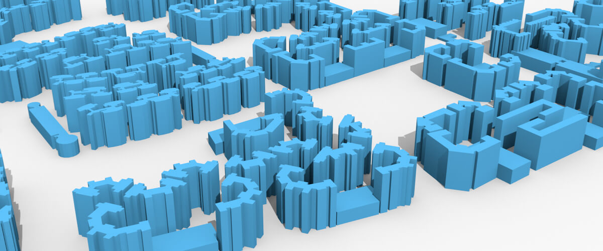
Example model in BricsCAD


