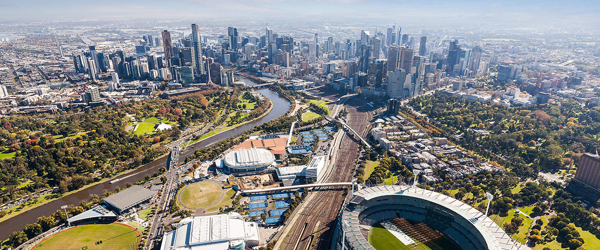
Plex-Earth 5 has landed on BricsCAD! The ever-popular satellite and aerial imagery plugin offers you sharp, updated pics from Airbus, Hexagon, Maxar, Nearmap, and of course, Google Maps.
For more than 10 years Plex-Earth has been the go-to plugin for CAD users, aligning satellite photos together, with Earth's curvature and inside CAD software.
Now Plexscape's full range of premium image providers is available to BricsCAD users and even more exciting developments are coming soon...

Plex-Earth in action with Hexagon
The Power of Plex-Earth Benefits BricsCAD Users...
Architects and designers, first measure and visualize reality, then re-imagine and the vision becomes the new reality.
Now imagine this -- imagine designing onto a background of an actual photograph of your project's site. A crisp, full-color, up-to-date photograph that's already perfectly orthorectified and aligned for you, inside BricsCAD, no photo-editing required; it's just there, on-demand!
So the real power of BricsCAD, as a tool, is to help you to 'see' each stage of this remarkable process.
3 reasons to use Plex-Earth:
- Seeing the bigger picture, with a bird's eye view of what's really there
- Fast and confident initial concepts and ideas for discussion
- Avoiding costly mistakes and re-work!
And you can pick ANY of their premium image providers...
Choice Is Important
Because no single provider is perfect for everything, Plex-Earth brings you a huge selection of high-quality, premium imager providers, all in one platform.
A single subscription offers unlimited views of any of the providers' photos.
A Business Edition subscription also offers automatic stitching together of multiple images (mosaics). That means you can cover a very long or wide area, whilst zooming, without any loss of resolution.
Plex-Earth's choice of providers allows you to pick the images you use for different scenarios, such as using the most recent images for a quick look, the highest resolution for detailed planning and perhaps the most attractive images in a PDF brochure, to win over stakeholders!
Plex-Earth offers these providers:
Airbus
Mention Airbus and the public think of passenger aircraft, but they are also famous for their Defense and Space -- Intelligence division, offering some of the best satellite imagery available. Yes, satellites, not airplanes!
They also offer an amazing historical database, making it easy to scroll back through time to see how your project area has changed. That can be really useful, maybe even critical for some projects.
Maxar
The name Maxar may seem familiar? That's because you've often seen its copyright notice on Google Maps, as Maxar provides a lot of Google Map's photos. They are one of the biggest names in satellite imagery, with 300,000 square kilometers refreshed DAILY. You could pay for a corporate 'SecureWatch' subscription, for access to their most recent, high-resolution imagery, useful for architectural design -- or you can just access it via your Plex-Earth subscription!
Hexagon
As BricsCAD is part of Hexagon, we're pleased to tell you that Hexagon is one of the heavyweight geospatial solution providers. Hexagon offer impressively high resolutions imagery across the US, that goes down to as little as 15cm per pixel. A planned and pre-published refresh schedule makes Hexagon a great choice when you need to be absolutely sure your view really is up to date.
Nearmap
For urban areas of the US, Canada, Australia and New Zealand, Nearmap are hard to beat. These images are aerial, not satellite, are usually just a few weeks old, and are presented in the pin-sharp clarity of just 5.8 cm -- 7.5 cm per pixel!
Google Maps
Everyone knows and loves Google Maps and it remains a favorite for stakeholders.
The future is already here -- and still coming!
When Google Earth first gave "normal people" access to satellite images it kept me (Lambros Kaliakatsos -- Plex-Earth CEO) awake at night! Google Earth has its limitations though, so we've worked tirelessly to find and bring you ALL of the very best of the world's imagery. The success of that goal is Plex-Earth 5!
As both a civil engineer and a software engineer I knew how powerful it could be if such photos could be incorporated into his design environment, and so I set out to make that happen...
It was not easy! Aerial or satellite photography always creates distortion, due to variations in the Earth's surface, the varied distance from the camera sensor, and even the slightest tilt in the angle of that sensor. Correcting for all this to make the images seem like a flat map was the secret sauce behind Google Earth and Google Maps.
Plexscape's secret sauce was to undo Google's sauce and re-do things so they could line up in the real-life, curved, bumpy world of an engineer's CAD!
"A single platform offering multiple providers across both big CAD softwares is a future-dream turned into today's reality. And I still feel like we're just getting started!''
So what does the future hold for Plex-Earth users?
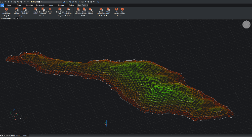
Plex-Earth are also expanding with super hi-res terrain data from Cesium...

Terrain data in BricsCAD made easy with Plex-Earth
...and a worldwide swarm of drone pilots!
I can't reveal too much here, but I can say we're very excited at what the technology of drones can do, now and especially in the future.

