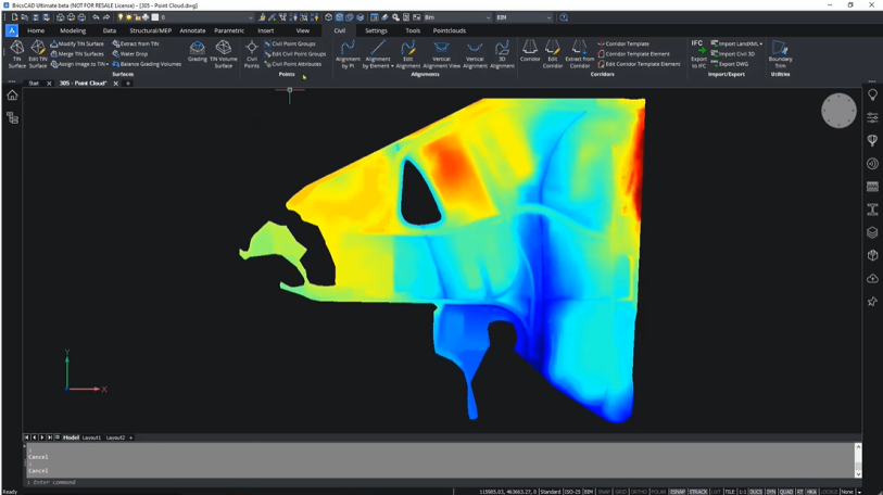
The use of 3D laser-scanning in the Surveying and AEC sectors is growing. The technology provides a fast, accurate method for collecting site data for design and construction, and the detailed point-cloud data begins the process of BIM and digital twin modeling.
At Bricsys, our intelligent tools and advanced features for 3D laser-scanning workflows help create the deliverables you need for your customers.
In this three-part blog series, we look at the methods for CAD users to develop Scan-to-TIN surface, Scan-to-Plan and Scan-to-BIM with point-cloud data.
Here, we start by looking at Scan-to-TIN surface.
You can import large point-clouds into BricsCAD Pro and use BricsCAD tools to filter unnecessary points and create a workable TIN surface. After importing the point-cloud, you can create a TIN surface. The software will process the point-cloud and offer filtering options to simplify the surface as you need.
TIN surfaces benefitting from the accuracy of a large data set
In BricsCAD Pro, users can create TIN surfaces from large files by intelligently filtering points at similar elevations, based on user-defined parameters. This allows you to remove any unnecessary points, and provides large point-clouds to be used without compromising the accuracy of the final model.
Your Scan-to-TIN surface is ready for analysis
Once you have a suitable TIN, you can continue to perform analyses, such as elevation and slope analysis or water-drop analysis, to determine water flow across the terrain.
Work faster with the performance of a smaller point-cloud
BricsCAD Pro gives you the power to create workable TIN surfaces for a project without the worry of performance issues that large point-clouds can bring.
Discover the BricsCAD difference
With BricsCAD, surveyors can reduce costs and drive project efficiency. Our CAD-based platform comes with intelligent commands and tools to accelerate your point-cloud workflow, while our partner apps provide advance survey features.
Discover the BricsCAD difference, and find out more about our Land Surveyor solutions.
To review more tools and features in CAD for your industries and roles, you can explore how to build better workflows with BricsCAD’s interoperable, intuitive and open solutions. We can’t wait for you to join and connect with the Bricsys community.

